Pulau Padar Anchorage
Southeast Asia Pilot – September 2025
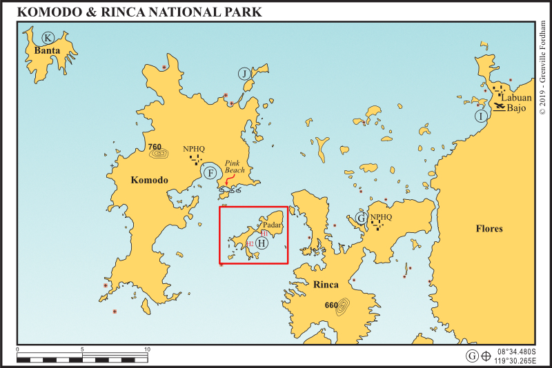
Pulau Padar (south bay), Indonesia
08°39.494S, 119°34.684E or 08°40.551S, 119°33.454E
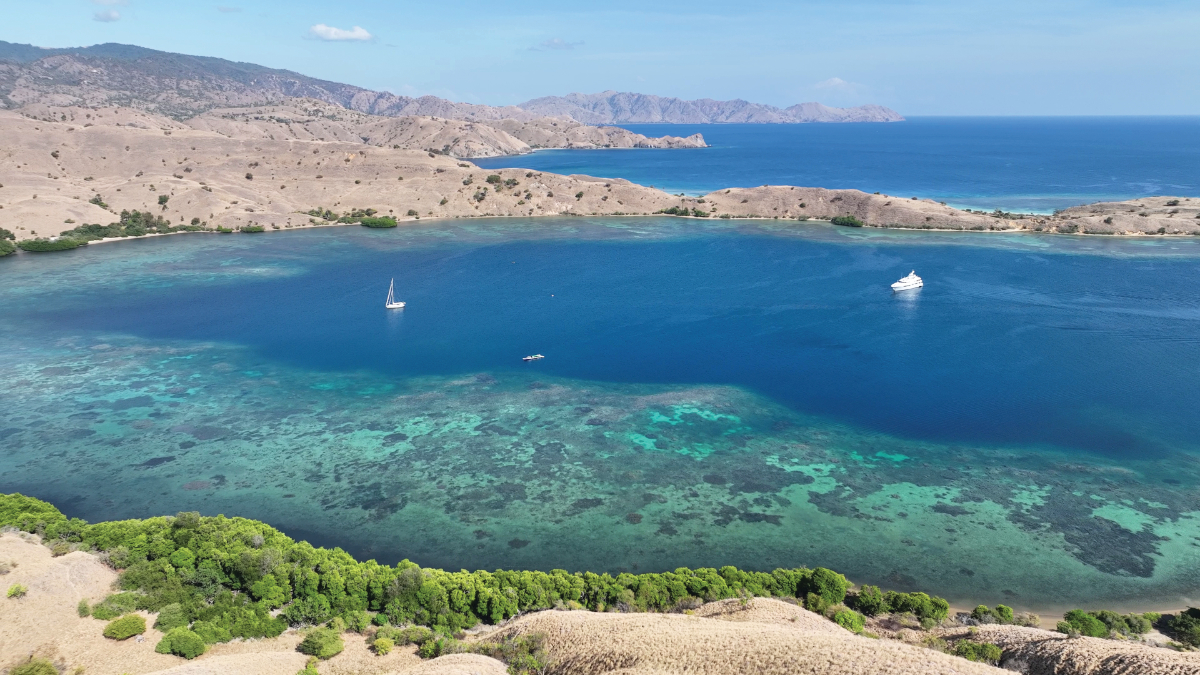
Pulau Padar, between Komodo and Rinca, is one of the most stunningly beautiful islands in Southeast Asia. A perfect stop before or after Komodo adventures.
Mooring buoys
Picking up moorings at an anchorage, instead dropping your anchor, is increasingly necessary as authorities scramble to preserve coral. Where we suggest you pick up a mooring, be prepared to move if asked to do so by the mooring’s owner or a local authority. In some anchorages, you may find moorings that aren’t mentioned in these pages because they weren’t there when the anchorage was last surveyed. Whichever case, it’s your responsibility to check moorings in terms of their availability, condition and suitability for your yacht. Be aware that some moorings are suitable for small, light boats only.

Anchorage Notes
⇒ Depth: 10–30m on sand
⇒ Protection: Choose northern or southern end of the bay to suit the direction of the swell.
⇒ Facilities: Small local jetty
⇒ Activities: Two hiking trails to the hill tops for spectacular views
⇒ Beaches: Access only at high tide owing to fringing reef
⇒ Why we like it: A serene anchorage with deserted beaches and magical views.

Southeast Asia Pilot – 7th Edition has detailed coverage of over 600 anchorages across nine countries. Available now in print and digital editions.
⇒ ⇒ ⇒ Order Southeast Asia Pilot
Southeast Asia Pilot and Phuket Publicity Services do their best to ensure that the information on this website is accurate. However, good seamanship demands that seafarers check critical information carefully with relevant sources to ensure it is up to date.FacebookLinkedInInstagram


