Many yachts arriving in the regions covered by this pilot have made their way up the east coast of Australia, enjoying Queensland’s Whitsunday Islands and the Great Barrier Reef along the way.
Cairns is the last major city port and marina stop for many seafarers before passaging north and west through, or to, the many countries detailed in this guide. As far as provisioning, pleasure and maintenance go, Cairns has more to offer than Darwin, so we’ve included this new section for relevant info on Queensland’s famous northern capital.
Capital of Australia’s Northern Territory, Darwin is in the cyclone zone; the most famous to hit the city was Tracey back in 1973.
Many yachts arriving in the region covered by this pilot book are following the traditional circumnavigation routes via north Australia. Darwin is often the last point of departure from Australia for yachts cruising through Indonesia and on to the Andaman or South China Seas.
Anchorages in Australia
>>> Click herefor a complete list of anchorages in Southeast Asia Pilot.
Darwin is a major support centre for commercial prawn and fishing industries, and a hub for oil, gas and mining. The Australian Navy has its northern patrol boat fleet stationed here. As a result it’s an excellent place for cruising yachts to stop for repairs and maintenance. All the major engine and yacht equipment suppliers have shops and service centres here. Read more...
Darwin is a major support centre for commercial prawn and fishing industries, and a hub for oil, gas and mining. The Australian Navy has its northern patrol boat fleet stationed here. As a result it’s an excellent place for cruising yachts to stop for repairs and maintenance. All the major engine and yacht equipment suppliers have shops and service centres here. Read more...
Note that this website may not reflect the most recent updates to the printed book and the eBook. While every effort has been made to ensure that the information contained in this book is accurate, the charts of anchorages are based on personal experience and satellite imagery and are intended as a guide only. They should not be used for navigation. Please refer to Official Hydrographic Charts of the respective countries.


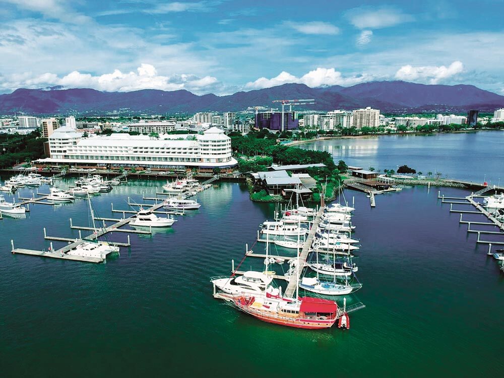 Cairns Marlin Marina | by APS Indonesia
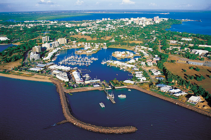 Cullen Bay Marina | by Tourism NT


