SEAP Southeast Asia Pilot-1

Elphinestone Island

  • A

PORT MARIA (NORTH BAY)

51 miles from Mergui town

PORT MARIA. 12°22.00N, 98°02.00E

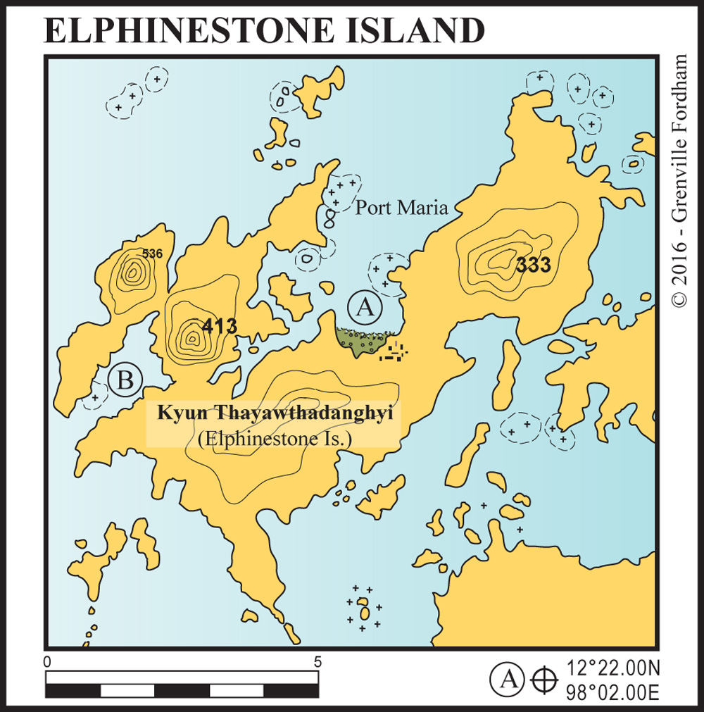
A well protected anchorage with a small fishing village and military base ashore on the southern beach. You are permitted to go ashore here. The southwestern side of the bay has good kayaking and jungle walking.

  • B

HETARIOUS BAY

10 miles from Port Maria

HETARIOUS BAY. 12°18.843N, 97°57.530E

With its long deep bay, this a good protected anchorage with a gently sloping bottom – a perfect night anchorage in the northeast monsoon. There are a few small beaches set around the bay.

See also:

  Go to top

While every effort has been made to ensure that the information contained in this book is accurate, the charts of anchorages are based on personal experience and satellite imagery and are intended as a guide only. They should not be used for navigation. Please refer to Official Hydrographic Charts of the respective countries.

Copyright.
The copyright holders of all content, in print and digital editions, are: Published book © Phuket Publicity Services Ltd. Part. / Texts © Bill O’Leary, Andy Dowden & Grenville Fordham / Design, layout & charts © Grenville Fordham / Photography: © as indicated in photo credits. All rights reserved
No part of this publication may be reproduced, stored, or transmitted in any form or by any means - graphic, electronic or mechanical, including photocopying, recording or otherwise – without the express permission of the publisher, Phuket Publicity Services Limited Partnership, and the other copyright owners.

Phuket Publicity Services Partnership, Ltd.,
Phuket Publicity Services Partnership, Ltd.,19/87 Moo 7,T.Srisunthorn, A. Talang, Phuket 83110 Thailand
Privacy policy