This website uses cookies to improve your experience. We believe you'll be OK with this, but you can opt-out if you wish. Or you can go to 'cookie settings' and choose which cookies to allow. Privacy policy
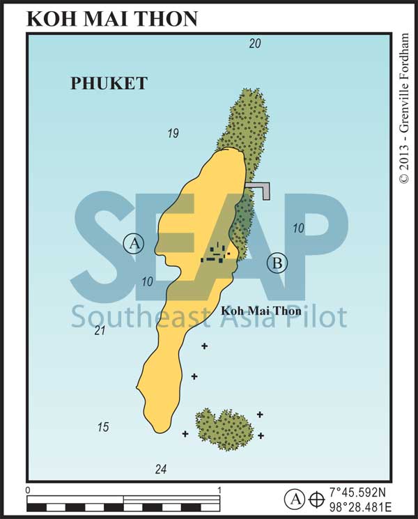
Koh Maithon is a small, beautiful island only six miles from Ao Chalong with a resort on its east coast. The resort, abandoned for several years, has been refurbished. There is a jetty protected by a concrete breakwater. However, at the time of writing, resort boats and pre-booked mass day trippers have exclusive use of this jetty. The resort does not welcome visiting yachts.
Be aware of the fringing reefs to the north and southeast of the main beach.

Click to view Phang Nga Bay photo gallery.
8 miles from Ao Chalong


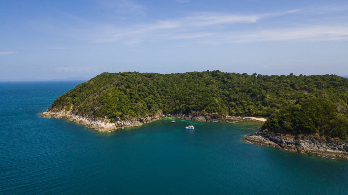
During the northeast monsoon season, a very small bay in the middle of the west coast of Koh Maithon offers good overnight holding, for one or two boats, in 10-12 metres on a sand and rock bottom. You can often find schooling bottlenose dolphins off this bay. Day trip catamarans often raft up during the day in this anchorage.
There’s a 15-minute walk across the island on a carved track to its east coast. People say this anchorage is a great spot for catching red snapper at night. Try hand lines with fresh bait.
Click to view Thailand photo gallery.
FacebookLinkedInInstagram
10 miles from ao Chalong


In the southwest monsoon, look for anchorage at East Maithon in 6-10 metres on the sandy bottom south of the concrete jetty. A useful sheltered anchorage with a great beach not far from Ao Chalong. The resort ashore does not welcome visiting yachts.
