This website uses cookies to improve your experience. We believe you'll be OK with this, but you can opt-out if you wish. Or you can go to 'cookie settings' and choose which cookies to allow. Privacy policy
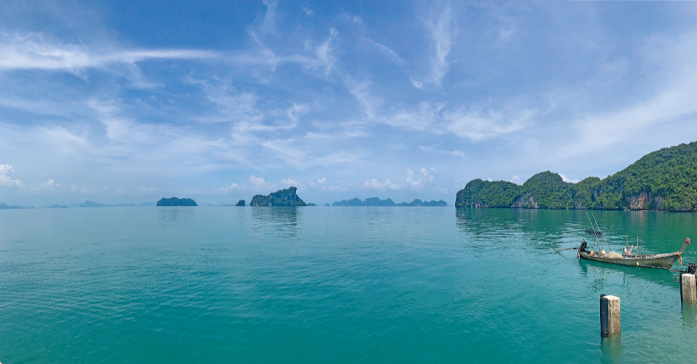
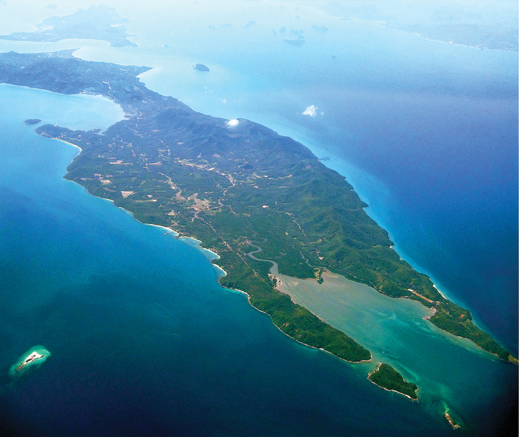
The Koh Yao Archipelago runs north to south and divides Phang Nga Bay into two distinct cruising areas. To the west and north is Phang Nga Bay and to the east and south are Krabi and the mainland. They are part of Phang Nga province and served by ferry from Phuket, Phang Nga and Krabi.
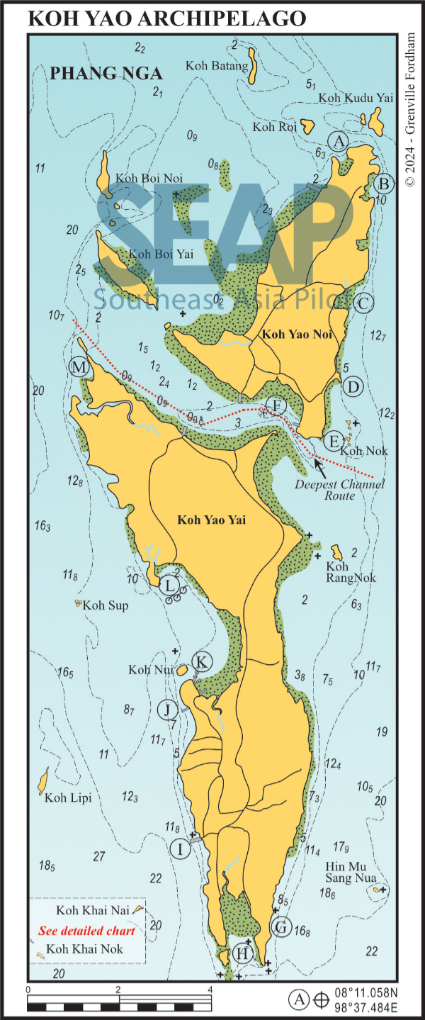
Together they have a population of 14,000, mostly Sunni Muslims who live by fishing, farming and rubber. In recent years there has been some resort development mainly on the east coast of Yao Noi and the south west coast of Yao Yai.
We start our anchorages at the north of Koh Yao Noi, in the Northwest Bay.
It’s possible to find shelter anywhere in a comfortable depth off either coast, so we just name a few of the better locations. The east coast of Yao Yai is mostly of little interest and shallow well offshore.
Click to view Phang Nga Bay photo gallery.
19 miles from Yacht haven


This anchorage at Koh Yao Noi is a pretty one. It’s on the outer fringe of a deep bay backed by mangrove swamps and flat ground. It offers protection in both seasons, with good holding on a muddy bottom. Anchor well out in the bay in 4-5 metres. Be sure to allow enough swinging room to accommodate an onshore breeze.
Dinghy trips ashore are possible at high tide. There is a beach with a few huts at the back of the bay. Behind the beach are some great trails either side of the creek. The bay dries a considerable distance from the beach at low tide. Because os this, you need to keep an eye on your timing – unless you want to do the dinghy drag.
Click to view Thailand photo gallery.
FacebookLinkedInInstagram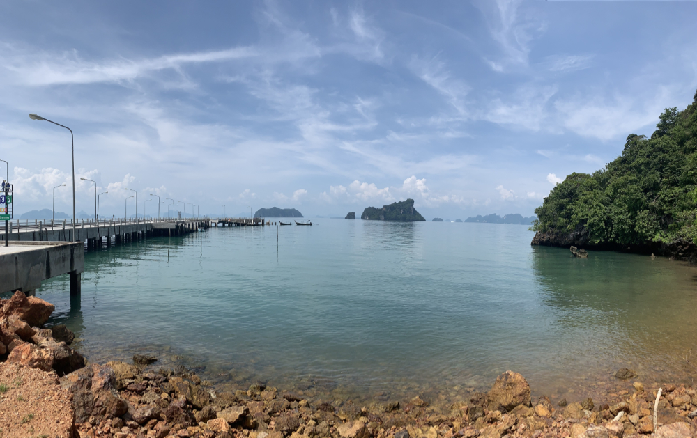
19 miles from Yacht haven


Paradise Koh Yao is a boutique resort, nestled in the palm trees behind the beach. There’s a floating dinghy jetty in the north of the bay with a marked channel giving all tide access. At the time of writing, yachties are still welcome to use the restaurant ashore.
Reasonably well sheltered, particularly in the southwest season, this anchorage is in 10-12 metres on a muddy bottom, tucked in 100 metres southwest of the small rocky outcrop.
Paradise recently developed the luxury Koh Yao Tree House Villas as a separate, but conjoined, entity.
The bay just to the north, Ao Pho Noi, is great for dinghy excursions, with several small beaches for landing and swimming against a backdrop of mangroves overhung by towering limestone cliffs.
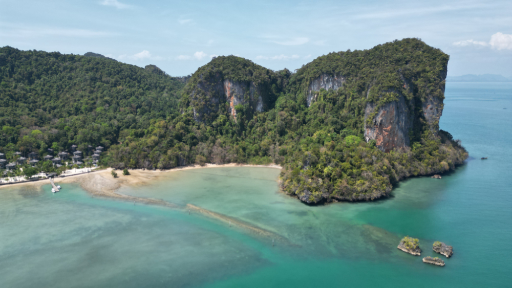
24 miles from Yacht haven


Koh Yao Island Resort is always a welcoming spot to stop in both seasons in light conditions. Yachts can use the spa, restaurant and swimming pool, for a fee. The road behind leads to a supermarket, roadside bars and restaurants, including the popular Pirate Ship restaurant.
Anchor in 8-10 metres on the muddy bottom. The orange marker buoy indicates the minimum safe distance from the fringing reef. It’s not a mooring buoy.
It’s worth noting that the Six Senses Yao Noi Resort, in the bay to the north of this anchorage, no longer welcomes visiting yachts.
Click to view Thailand photo gallery.
FacebookLinkedInInstagram24 miles from Yacht haven


The rustic Long Beach and Sabai Corner bungalows to the south have small restaurants that operate all year round. They offer a welcome opportunity to dine out on seafood after several days of cooking on board. However, drying coral banks fringe their beaches at low tide, giving limited access.
Anchor in 4-6 metres off the southern end of the small bay.
Hotels, resorts and beach clubs now line the entire length of Long Beach. The Green mini mart next to the Pyramid Bar and Restaurant has a non-halal section and sells alcoholic drinks, ice and fresh bread. There is another well-stocked supermarket 3km north near the Six Senses Resort. Best rent a motorbike with sidecar to go shopping.
Just north of Sabai Corner is the Villaguna Boutique Resort. There is concrete ring road connecting the beaches, the resorts and the main ferry terminal.
Click to view Thailand photo galleryFacebookLinkedInInstagram
25 miles from Yacht haven


en route to Phuket from the northeast of Koh Yao and the Krabi area
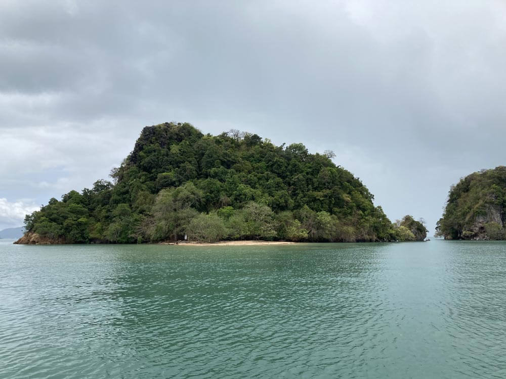
Koh Nok is tucked in behind the neighbouring small islets and rocks. This spot at offers limited protection in the northeast monsoon season.
To the west, a sandy spit runs out in shallow water towards some rocks. This is an excellent stopover on the way to the Koh Hong island group or Krabi. The beach is good for swimming, but the current can be strong at the third hour of the outgoing tide.
The steep path up to the top of the island has a sturdy rope to make the near vertical climb safer.
Click to view Thailand photo gallery.
Chong Koh Yao is the passage between the Yao Islands. Local vessels en route to Phuket from the northeast of Koh Yao and the Krabi area use it extensively. For pleasure vessels, even keelboats, it’s navigable with care on a mid- to rising tide. Rule of thumb: the high tide must be at least 0.5 metres more than your vessel’s draft.
The approach from the west is to favour the north coast of Koh Yao Yai heading towards the fixed white tower marker at 8°05.10N, 98°34.55E, then steer 65°towards the seaward end of the commercial jetty on Koh Yao Noi, before passing north of the visible rock. Once clear steer southeast to exit the channel.
A ferry service leaves several times daily from the jetty on Koh Yao Noi, landing on Phuket at the inlet called Bang Rong just south of Ao Po.
26 miles from Yacht haven


You can find good overnight holding at Chong Koh Yao in 7-10 metres to the east of the low rock in the middle of the passage (Hin Klang Rong).
The largest village is on Koh Yao Noi, 1km in from the jetty; this is the best bet if you need to top up your stores. Visit the little local restaurants or get a ferry to Phuket from the all-tide floating jetty.
You will see a long sandy spit ideal for swimming at high tide south of this anchorage. They filmed a few scenes of The Mechanic Resurrection here. It’s busy from after lunch till late afternoon with day-tripping speedboats. Three smaller fishermen villages perch on the north shore of Koh Yao Yai, one of them with a long jetty.
A visit ashore is an interesting experience, but note that the people are Muslim and women should cover up. You can’t buy alcoholic beverages at these north Koh Yao Yai villages, nor should should you take them ashore.
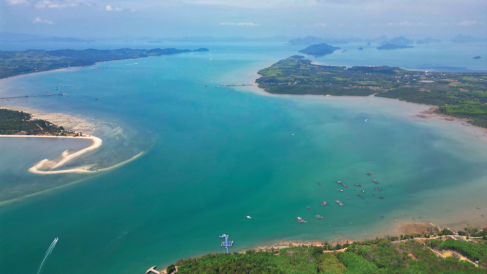
Reasonably maintained concrete and black top roads now traverse the lengths of both Koh Yaos and the islands are fast becoming popular destinations for mountain biking adventure tours from Phuket.
Three miles southeast of the channel is Koh Rang Nok. This is well worth passing by to see the cave and suspended dwelling under the rock wall on the northeast corner. The dwellings house the vigilant guardians of the culinary-valuable birds nests. There are many signs strewn around the island warning against landfall. We strongly advise you to heed them.
28 miles from Yacht haven


Just north of Laem Hua Larn (Bald Head Cape) you’ll find one of Capt Ed’s (one of our contributors) favourite spots. Anchor off the reef in 10 metres on a sandy bottom to get some respite from the southwest swells. There’s a beautiful beach with a panoramic view of the Koh Hong Archipelago and Krabi to the north.
Click to view Thailand photo gallery.
FacebookLinkedInInstagram26 miles from Yacht haven


Approaching this Koh Yao Yai anchorage, keep well off the rocky point to the west. Set your anchor on the muddy bottom in 4-6 metres. Holding is firm at this spot. It offers good overnight protection in the northeast monsoon. You can also be use it in lighter winds during the southwest season.
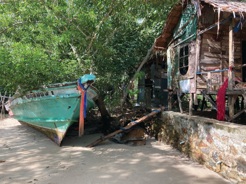
There is a small Muslim fishing village on stilts in the northwest corner of the bay. Approach by dinghy using the shallow creek on the west of the bay. Please observe the usual Muslim dress code.
There is a shallow bar at the mangrove entrance but once in the river it remains deep enough for shoal draft vessels. There is another village and road connection at the bend where all the fishing pot boats are tied up.
Click to view Thailand photo gallery.
21 miles from Yacht haven


Anchor in 5-10 metres in Loh Jark Bay off concrete pier. This jetty serves the main town of Prunai a few miles east in the centre of the island.
There are a few resorts and restaurants ashore and transport can take you to town to get provisions. There is a quieter bay one mile south with a small resort off a white sandy beach.
Click to view Thailand photo gallery.
FacebookLinkedInInstagram18 miles from Yacht haven


There’s great holding at Loh Paret Bay in 4-7 metres. Anchor off the white sandy beach in the north of the bay and south of the Santithiya Resort Jetty.
There are several shops and restaurants ashore and the main resort welcomes yachties. It has a spa and one of the largest swimming pools in the region. If staying overnight, we suggest move to the southern end of the bay to avoid the all-night Karaoke party club at the small resort next to the Yao Yai Resort.
Road access is just behind the beach and the main town is a few kilometres away.
17 miles from Yacht haven


Situated halfway down the west coast of Koh Yao Yai, Ao Labu is easily recognised. It is the bay directly east of the twin stack islands of Koh Sup. Coming from the south, take the channel between Koh Nui and the headland. It is deep (5 metres) right up until the concrete jetty on the headland.
In the southwest season there’s good overnight anchorage at Ao Labu, South End. Anchor in 4-5 metres behind the small island of Koh Nui or anywhere close to the jetty out of the swell. Don’t venture south of the jetty head since the bank dries. Behind the corrugated iron community is a wide creek with excellent dinghy exploration.
If coming from the north beware of the rocky outcrop a half mile north of Koh Nui and just visible at low tide.
Click to view Thailand photo gallery.
“This is a very beautiful spot. You should say something about it in your guide. Unfortunately it is difficult to stop there. I anchored on the SE side in a depth of 17m and it worked, but I do not know what the bottom is.” Feedback from Robert Reitbauer. He’s right. It’s a great place to stop for lunch and a swim. Bottom is mud and sand.
16 miles from Yacht haven


In the northeast monsoon, there’s good holding at the north end of Ao Labu. Anchor in 5-6 metres on a muddy bottom. The shelter is excellent, too, on a line roughly due east of the headland. There are half a dozen government moorings here. However, yachts have reported finding themselves aground at low tide on these moorings. Take care!
It’s unwise to anchor too close in; there are some coral outcrops in the bay and the anchorage we recommend is perfectly sheltered. This is a favoured first or last stop for yachts chartering from Ao Po and Yacht Haven. The bay is tranquil and calm in the northeast season with few longtails and speedboats to destroy the serenity.
At very low tide the bay is shallow some distance from the beach; ashore is a long, sandy, casuarina-fringed beach. In the northern corner of the Ao Labu lies the mouth of a river. It extends two miles into the headland, toward a small settlement of coconut and rubber is cultivation,
This extraordinarily peaceful anchorage presents a rare opportunity for extended walks on level ground surrounding the bay or dinghy exploration up the creek.
Further north, towards the entrance of Chong Koh Yao, are a few sandy beaches with good holding and shelter from the northeast monsoon. Approximately five miles north of anchorage ‘L’, and less than two miles south of our anchorage ‘M’, is Coco Beach Resort, a facility with shore side restaurants, beach activities and an extensive water park in the sea. This is currently marketed at day trips from Phuket. However, with the amount of construction going on, there may be accommodation coming soon. A great stopover if you have kids on board.
12 miles from Yacht haven


Anchor at Ped Num Bay in 5-10 metres. Position yourself south of Laem Hia off the small sandy beach close to the river entrance. This river meanders deep into the north of Koh Yao Yai.
