This website uses cookies to improve your experience. We believe you'll be OK with this, but you can opt-out if you wish. Or you can go to 'cookie settings' and choose which cookies to allow. Privacy policy
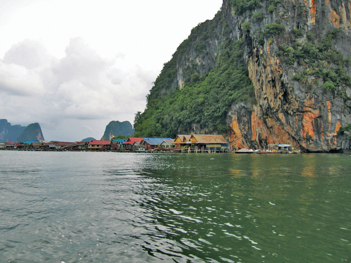
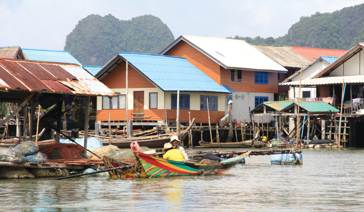
The Sea Gypsy Village, otherwise known as known as Koh Pan Yi, sits almost entirely on stilts over water to the south of the island’s sheer cliffs. The people here are really Muslim fishermen, not any kind of gypsies as the tourist name suggests. The nearest real sea gypsies live far south on Phuket Island.


Click to view Phang Nga Bay photo gallery.
22 miles from Yacht haven


Otherwise known as the Sea Gypsy Village, Koh Pan Yi is built almost entirely on stilts. It reaches out over water to the south of the island’s sheer cliffs. The people here are really Muslim fishermen, not Sea Gypsies as the tourist name suggests. The nearest real Sea Gypsies live far south on Phuket Island.
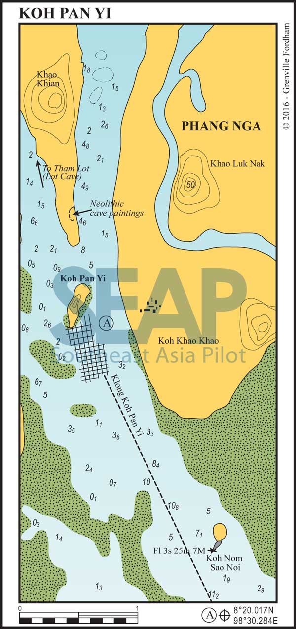
A light structure on a small rocky islet at the river entrance clearly marks the approach from the south. The course to the Sea Gypsy Village is straight. Favour the right side, if any, to stay in deeper water. Anchor in 4-9 metres to the east of the village. Take care to avoid the many floating cages used for raising fish.
There are dinghy landings, many restaurants and souvenir shops in the village. Up to 3,000 tourists crowd the village during the lunch period. In the late afternoon and evening peace and quiet return.
Further north on the east side of Khao Khian are cave drawings dating far back, perhaps to Neanderthal times.

West of Khao Khian is a shallow mangrove river that meanders through rocky outcrops and past an awesome sheer cliff. This river eventually leads through Tham Lot cave approximately three miles from the village. Depths make this only suitable for small speedboats and dinghies.
You will often see local tour operators racing up and down this river. Their path can indicate where the deeper water is found. Keep to the outside of blind corners and keep a good lookout for speeding tour boats.
