140 miles from Bali


Continue past the commercial cargo docks and fuel pier and storage facility towards Amanwana resort’s floating jetty. Anchor in 12-18 metres on a muddy bottom east in this protected cul-de-sac bay. Further to starboard remains deep and navigable right up to 200 metres from the end, so anchoring anywhere in there is fine too.
The town is a few kilometres away, as is the airport with daily connections to local centres. Horse and buggy is still used as the most popular form of local transport.
If there are no moorings at the resort, another close anchorage is in 12-15 metres off the fringing reef in front of Brang Sedo fishing village, a half mile southeast at 8°16.388S, 117°30.449E . Dinghy back the half mile northwest to the floating wooden-clad resort jetty at 8°15.847S, 117°29.932E to meet the Amanwana manager and enjoy their 5-star hospitality on the deck and in the restaurant. World class diving and snorkelling is directly off that jetty. .
Three miles further north around ‘Crocodile Head’, and past the crescent-shaped reef less than a mile offshore, is the small village of Labuan Haji. Anchor at 8°13.241S, 117°29.040E about a 100 metres off the short coral stone jetty in 6-13 metres. The half acre broken coral bank shallows outside the fringing reef edge nearing the jetty. Shoal draft vessels can get very close in and alongside the new pier at high tide. Through the village ashore is the start track up to ‘Mata Jitu’ falls and pools.

Click to view Indonesia photo gallery.
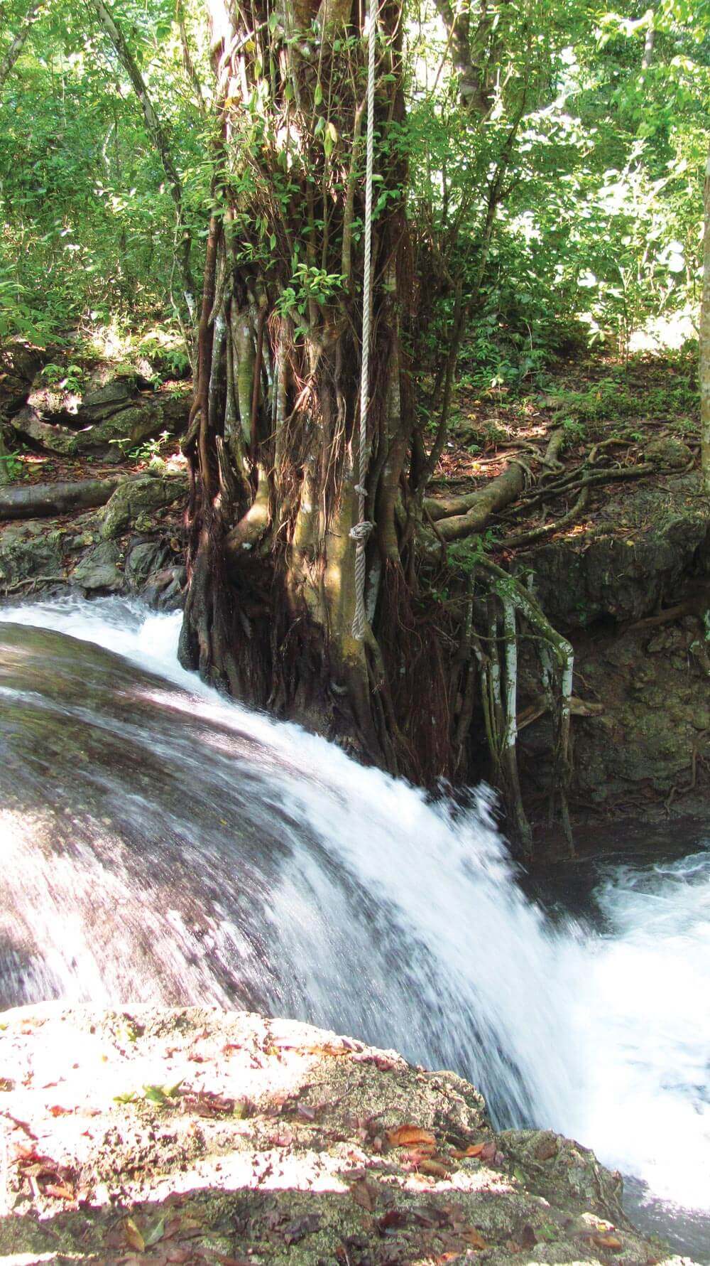
 From the Labuan Haji Village coral jetty on Pulau Moyao, walk through this classically rural Indonesian village to the start of the 5-kilometre track up to ‘Mata Jitu’, the magnificent travertine limestone waterfall and pools.
This mineral hot spring seeps out of a mud-soaked acre of savannah at the top of the plateau. Mount Tambora’s volcanic pressure drives calcium-laden fresh water up to a soak pit before gravity brings it back down, a return journey that has created a work-of-art-like creek with thousands of years of fine calcium deposits forming concentric edges, each spilling over into the next moulding dozens of small gin-clear cool-water pools.
This mineral hot spring seeps out of a mud-soaked acre of savannah at the top of the plateau. Mount Tambora’s volcanic pressure drives calcium-laden fresh water up to a soak pit before gravity brings it back down, a return journey that has created a work-of-art-like creek with thousands of years of fine calcium deposits forming concentric edges, each spilling over into the next moulding dozens of small gin-clear cool-water pools.
Southeast Asia Pilot co-author, Bill O’Leary, was told he was the third non-Indonesian to have ever swum in these pools back in 1990. Led by the late great Barry Lees, the Australian hunting pioneer who lived on the island for many years, they had to cut their way into the main falls using machetes. Barry and Bill were employed by legendary hotelier, Adrian Zecha, to open Amanwana as Amanresorts’ first tented Hideaway, with a focus on hunting and spectacular diving in 1991.
Many years later the well-to-do take the resort’s 4WD along the winding manicured track from Labuan Haji up to Mata Jitu to picnic, rejuvenate and drink from its magical waters. If you’re in this area, don’t miss an opportunity to experience Mata Jitu’s mineral pools. Shaded by a savanna canopy, this icy-cold travertine waterfall is one of Indonesia’s true Gardens of Eden.
