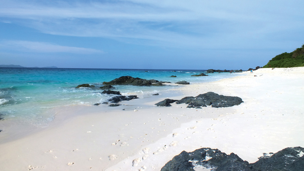
This remote “castaway” island is the most western island of the Andaman group. It is fringed entirely by coral reef and for much of the year has a substantial surf break which can make getting ashore difficult.
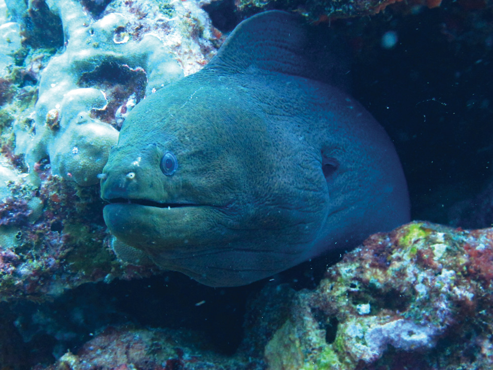
It is however a frequently overlooked gem of an island with magnificent snorkelling, diving and fishing. Underwater visibility is exceptional.
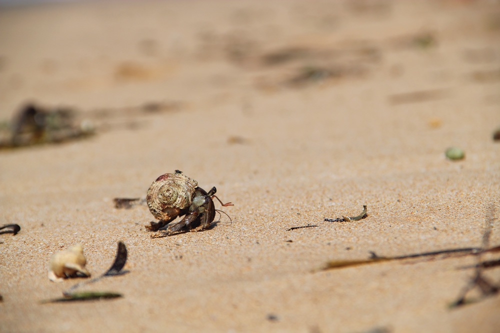
Ashore the island is fringed entirely by a white sand beach except for the very northeast corner of the island where there are interesting limestone cliffs with caves that are frequented by coconut crabs.
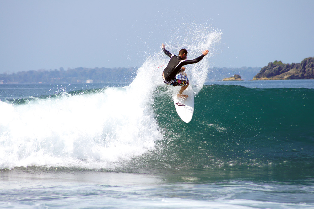
During March and April the western and eastern sides of the islands have superb surf breaks. There is the unrecorded wreck of a British warship (circa 1800), complete with cannons on the north side of this island.
17 miles from Jackson Creek, little andaman


Anchor in 15 metres clear on a white sand bottom clear of the fringing reef. This is a spectacular anchorage in crystal clear water with dolphins and manta rays as early morning visitors.
There is easy access to the beach along the western side of the limestone cliffs. From January to April this beach is a major nesting site for hawsbill and leatherback turtles.
17 miles from Jackson Creek, Little Andaman
From this anchorage you have the permanent roar of breakers crashing into the southern reef of South Sentinel. However the anchorage is surprisingly comfortable during the strong northerly winds that can be common during January and February. Anchor in 20 metres well clear of the surf break.
19 miles from Jackson Creek, little andaman
Named after the great left hand surf break off the lone palm tree further inshore, this anchorage offers reasonable protection in stronger northeasterly winds. Anchor on sand in 18-20 metres.