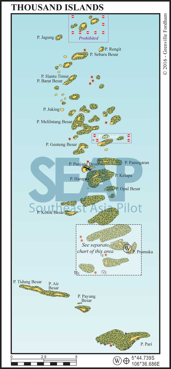
Contrary to the name, this archipelago actually has 105 islands running some 50 miles north of Jakarta. Because of its close proximity to the capital, it has become one of the most visited recreational destinations in the area, especially for Jakartans.

Despite the high traffic level, these islands are poorly charted. Of the 105 islands, 36 are government decreed for recreation and of these only 11 resorts and two historic parks are currently open.
Private ownership accounts for 23 islands, which are fiercely guarded. They are not open to the public and should be avoided as most have private security. The rest are either uninhabited or support tiny, and mostly struggling, fishing communities.
26 miles from Batavia Marina


Without local knowledge it can be a difficult experience negotiating passage around these islands. Great caution and visual lookouts should be employed. The underwater topography is challenging. The bottom comes up from 35 metres to under one in many places around this ancient volcanic atoll group.

Without local knowledge it can be a difficult experience negotiating passage around these islands. Great caution and visual lookouts should be employed. The underwater topography is challenging. The bottom comes up from 35 metres to under one in many places around this ancient volcanic atoll group.
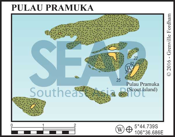
We recommend only one anchorage at the administrative capital island of Pulau Pramuka (Scout Island) – because it is easiest to safely navigate to and there’s plenty of lively activity going on ashore.
Stay east of everything from Jakarta north until east of Pramuka. Once confident with the fringing reef edges, skirt around the north end before turning southwest down into the 400-metre wide channel. Just past halfway down the island anchor on sand close to the T-Jetty in the channel in 28-36 metres. All along this edge it rises steeply so you can come right in, or as close as you’re comfortable with, and tie bow or stern to the concrete ferry dock.
If there’s no one alongside, best take the space and tie up until directed otherwise. This location is wide open to the northwest but relatively calm in most other conditions. Ashore it’s simply magic. A thousand people live happily on 16 hectares in a crowded, but orderly, island town community with schools, post office, mosque and administration buildings.
Ashore there are seafood restaurants, many accommodations and games rooms. Daily ferries and speedboats run back to Ancol Marina in Jakarta.
