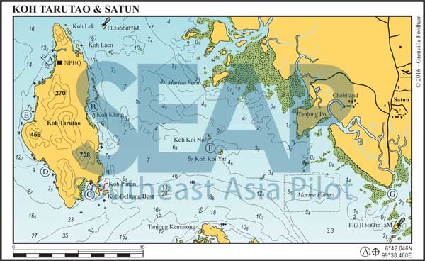
Tarutao is the largest island of the 51-island National Park archipelago covering a whopping 152 square kilometres. Its southern coast lies only four miles from the Malaysian duty-free island of Langkawi.
Tarutao comes from a Malay word for ‘old, mysterious and primitive’ – an apt description for this densely forested, former penal colony. In 1938, the Thai government chose Tarutao to incarcerate 500 political prisoners as it was fairly remote and infested with crocodiles.
Read more
57 miles from Koh Lanta Lighthouse


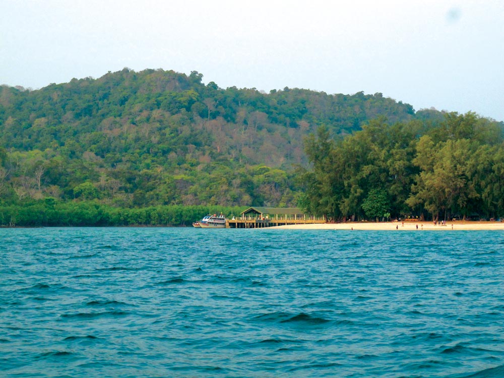
Anchor southwest of the rock outcrop in 6-10 metres on a sandy bottom or just north of the creek entrance tripod marker. Alternatively pick up one of the many government moorings. National Park headquarters has a cement pier at the entrance to the mangrove creek for shallow-draft vessels. A 500 baht per person landing fee will be levied.
Read moreClick to view Thailand photo gallery.

11 miles from Ao Pante


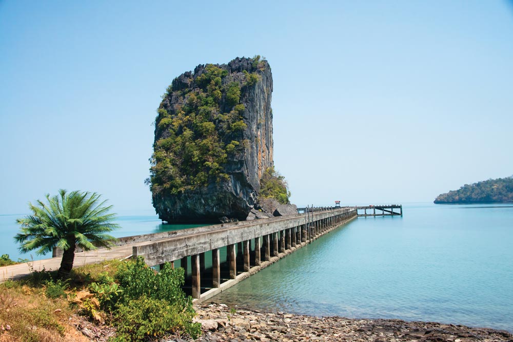
Anchor in 7-10 metres near the long pier next to the rock outcrop. The pier was built as a transit centre for prisoners en route to the main prison camp at Talo Udang. There is a ferry service here serving Satun, the Butangs and Langkawi.
There is a ranger station on the hill and roads leading north and south. You can rent a bike or get a shuttle bus from the visitor centre. Easy access to fresh water at the end of the jetty. Beware of an uncharted rock in the inner channel north of this anchorage.
Click to view Thailand photo gallery.

16 miles from Ao Pante


Anchor in 5 metres just west of Koh Panan. This anchorage is suitable in the northeast season only.
Once ashore, look for a lonely historic outpost, once the site of a penal colony for female and male political prisoners, a salt factory and later a busy village. Little trace of either remains, although the young Thai rangers stationed here will be happy to show you around.
A scenic, deep passage exists just to the east between Koh Panan and Koh Belitung Besa. At 32 metres throughout, the current can run at two knots mid tide.
10 miles from Ao Pante


Anchor off the north beach and creek entrance in 7-10 metres. Anchorage is also available at any of the four beaches on this beautiful stretch of coast in 5-10 metres on sand. There is a creek on the northern beach where fresh water can be found. This is a great anchorage for the northeast season.
This quiet location is often visited by local fishermen for the freshwater streams ashore, and a few fishermen’s huts are located near the creek.
5 miles from Ao Pante


Anchor anywhere in 6-8 metres on a sandy bottom in the northeast season only.
Ao Son has a long all-tide beach where a few remaining sea turtles nest from November to March. The maze of mangrove channels at the southern end of the bay is ideal for dinghy or canoe exploration.
Look for the beginning of the trail to Niwon Waterfall about half a kilometre south along the beach. A 4-kilometre track leads to a small waterfall with a pool big enough to bathe in. Toilets and a freshwater stream are found near the ranger station at the north end of the beach.
17 miles from Ao Pante

These islands, halfway between Tarutao and the mainland, are a favourite haven for local fishing boats. Both offer good, safe daytime anchorage. Koh Koi Noi is a beautiful sand island with shallow water all around, so approach carefully. Anchor as appropriate for prevailing conditions and ground swell.
30 miles from Ao Pante


This is the first port of entry on the west coast of Thailand. Vessels wishing to enter the Satun River will find a buoyed channel, which leads all the way to the concrete government jetty.
Here you will find police, customs, harbour department and immigration as well as easy access to supplies, ice, workshops etc. The provincial city of Songkla province, Had Yai, has an airport and is about one hour road journey from Satun.
Most yachts prefer to anchor in the entrance to the channel and go ashore by dinghy. We suggest you leave one crewmember aboard as river traffic is heavy. Ferries regularly ply between Satun and Langkawi.
